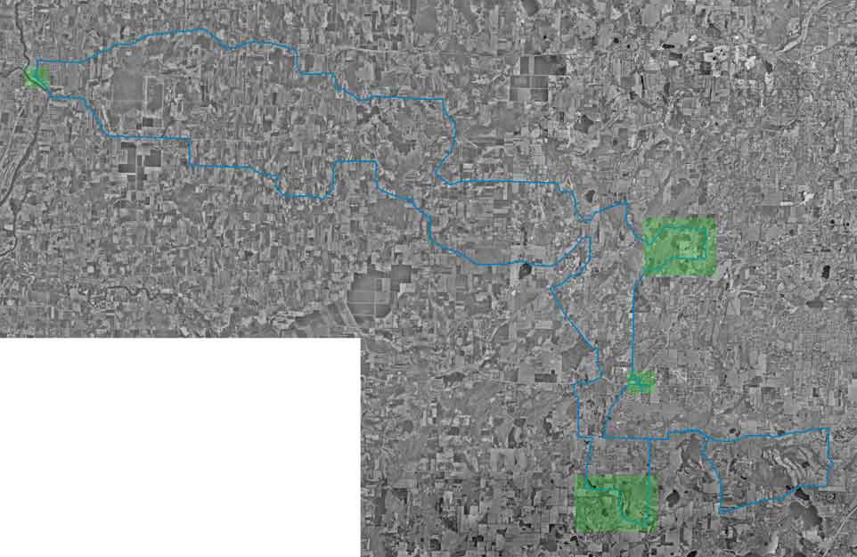
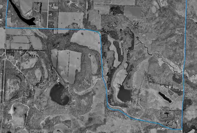
The pictures were generated by USAPhotoMaps thank you Doug Cox for the Software and thank you Microsoft Terra Server for the images.
These aerial photos are from the rural cruise route. I logged the route using a Garmin Etrex GPS receiver and downloaded the track log at home using USAPhotoMaps. The track log shows when we were at a specific point and how fast we were going at that point. I did not have room to show all of that here.
This is a map of the route taken by the cruise. It was approximately 100 miles of pure fun.
Select green highlighted areas for a more detailed view
Other Areas of Interest
Event Pictures
Main Map
Start and Finish
Shortcut along the way
Food Stop
Area towards the end of the cruise